Focus Area: Gulf of Mexico and Polar Oceans
Lead: Dr. Alberto Mestas-Nuñez
Due to its global extent, the major challenge for studying the ocean has always been the lack of observations of ocean properties, particularly at high latitudes in the southern hemisphere. Instruments onboard satellites can measure multiple ocean properties, including temperature, sea surface height, surface winds, surface chlorophyll, and surface salinity, with much better spatial coverage than any other observational system. Satellite sensors, however, can only observe the ocean's surface and therefore a sound observational program of the ocean ought to combine remote sensing with direct observations in the water column.
The Center will combine applications of ocean remote sensing with the development of an ocean glider observational program.
Each year, one or two students will summer intern at one of the NASA centers or at a collaborative university.
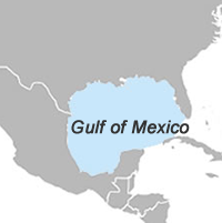
Gulf of Mexico
Center students will use remote sensing and glider observations to better understand oceanographic processes in the Gulf of Mexico. Studies may focus on using satellite and glider observations to quantify and understand the background state (baseline) of the Gulf or in studying how the background state is impacted by the episodic forcing of storms and fronts. Students will also learn how to plan and execute a glider mission and analyze data from it. The interpretation of the satellite and glider observations will be aided by the output from ocean model simulations.
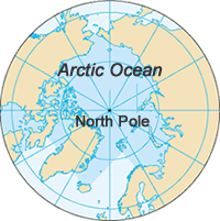
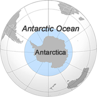
Polar Oceans
Center students will be trained on applications of remote sensing to study the variability of atmosphere-ocean fluxes in high latitudes both on free and ice covered regions. They will also be trained on understanding the variability of horizontal fluxes of heat by combining satellite surface observations with in situ measurements and output from ocean and atmosphere models.