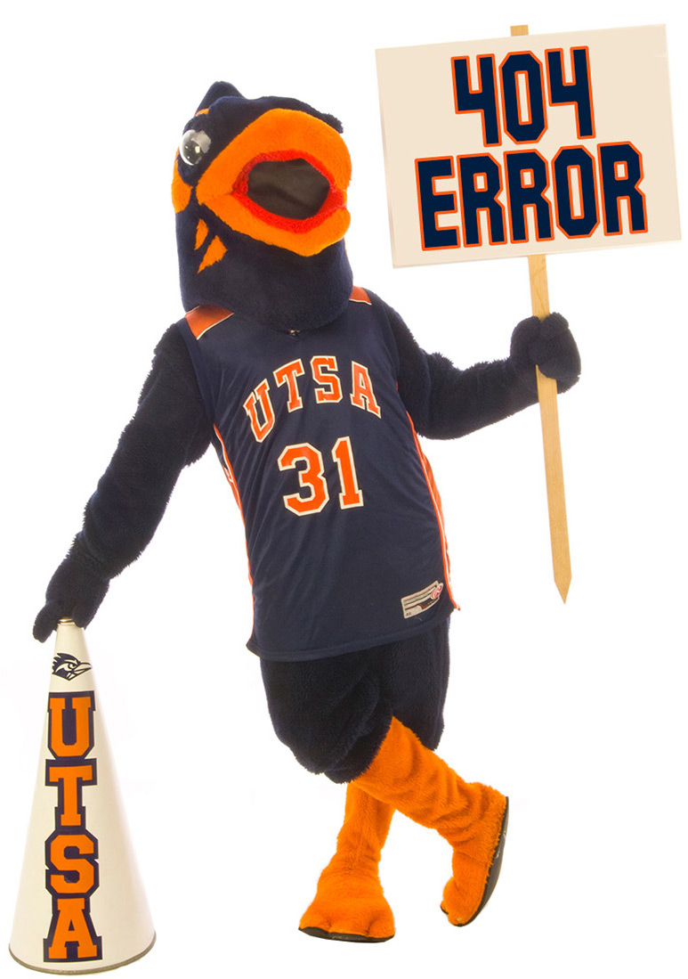
Class website: http://www.utsa.edu/LRSG/Teaching/
Department of Earth and Environmental Science
University of Texas at San Antonio


Remote Sensing/Principles of Remote Sensing

EES 5053/GEO4093 (Fall 2008)

This course will provide a thorough introduction to remote sensing theory, technology, and application. The emphasis in this course is on understanding the underlying principles of acquiring and interpreting data from imaging systems covering the electromagnetic spectrum from the ultraviolet, visible, infrared, thermal, to microwave and applying them. Remote sensing is now the technique of choice for mapping land, ocean, and atmosphere of Earth and for exploring other planets and their satellites (such as Mars and Moon). 


Instructor:  

Dr. Hongjie Xie , Email: hongjie.xie@utsa.edu, Tel: 210-458-5445
Department of Geological Sciences at UTSA, http://www.utsa.edu/LRSG

Teaching Assistant: Beibei Yu (beibeiyu1677@yahoo.com), Tel: 210-458-7815, Office at SB4.03.24.

Office Hours:
Monday 4:30-6:30 pm or by appointment at room of SB 2.02.16

Lecture and Lab:

Lecture and Lab: 7:00 - 9:30 pm, Monday at room SB 2.01.02

You are required to attend all lectures and labs except you have a good excuse (you should let me know prior to the class).

Textbook:

Required:

Remote Sensing of the Environment: An Earth Resource Perspective (2nd edition), John R. Jensen, 2007, Prentice Hall press (ISBN number is 0131889508). You can get this book from UTSA Book Store or from online bookstores such as http://amazon.com and http://www.addall.com/


Supplemental:  

Introduction to the physics and techniques of remote sensing (2nd edition), Elachi and van ZYL, 2006. Wiley Press (ISBN number is 0471475696).

Remote Sensing for GIS Managers, Stan Aronoff, 2005. ESRI Press (ISBN number is 1589480813).


Grade Policy:

The final grade will be determined as below:

For graduate students:

Lab exercises    40%
Midterm exam   15%

Final exam         25%
Term project     20% 

For undergraduate students:

Lab exercises    50%
Midterm exam   20%

Final exam         30%
 

Lab exercise:

Lab exercise will be assigned on Monday and due right before the Monday class in the following week. Late exercise is unacceptable, unless you do have an good excuse. No make-up lab exercise. Email submission is unacceptable unless you have to miss the class (you should let me know in advance). All lab exercises should use MS Word or others, please no handwriting (it is difficult to read). Lab exercise is very important for you to actually understand the remote sensing concepts,  to use image processing software package, and to prepare you to solve real world problems

Term project:  

For graduate students, a fair portion (20%) of this class is a term project. You (or up to 2 persons) will submit a complete proposal (5%) (no less than 2 pages, double space, 12 font) on October 27, including a title, student name(s), introduction or question statement, data and methods to be used, and expecting results. Each student (or group) will have a 15 minutes class presentation (7%) and will submit a final project paper (8%) (no less than 5 pages, single space, 12 font). Instructor will also give some topics for your reference. More details will be given in the Term Project Assignment on Oct 13.  You are always very welcome to discuss with me about your project. You are encouraged to review the class projects carried out by your fellow students who took this class before (PowerPoint presentations and final papers are all available through my teaching website).

For undergraduate students, a term project is not required. However, if you would like to do a project (you can team up with a graduate student or undergraduates or by yourself), an extra 10 points (maximum) will be given toward your final grade. You may also select to review a research article published in Remote Sensing of Environment and earn a 10 extra points (maximum).

Academic dishonesty policy:

All works must be original. Plagiarizing or cheating in any form will be reported and a failing mark will be assigned.

Tentative Schedule:

Date
(Lecture)

Subject

Lab

Reading

Sep8
(L1)

Introduction to course structure, syllabus, lab, instructor, students, and introduction to Remote Sensing (ppt)

1 Chapter 1
Sep15
(L2)

Some basic concepts of remote sensing (ppt)

Starting ENVI

2

Chapter 3

Sep22
(L3)

Electromagnetic radiation (1) (ppt)

(addition: projection and datum)

3 Chapter 2
Sep29
(L4)

Electromagnetic radiation (2) (cont')

4 Chapter 2
Oct6
(L5)

Intro to digital image processing (ppt)

Photogrammetry (ppt)

5

Chapters 4,5,6

Oct13

(L6)

Multispectral and Hyperspectral remote sensing (ppt)

6 Chapter 7
Oct20

Midterm exam

Term project assignment (pdf)

Demo of spectroradiomter

7 (schdle) Chapter 15
Oct27

go through the midterm exam

working
on proposal
Nov3
(L7)

Thermal infrared remote sensing (ppt)

Team and project proposal due

8
Chapter 8 and paper
Nov10
(L8)
Active microwave remote sensing (Radar) (ppt) 9 Chapter 9 (1)
Nov17
(L9)
InSAR and Lidar remote sensing (ppt)
10
Chapter 10
Nov24
(L10)

Passive microwave remote sensing (ppt)

11 Chapter 9 (2), papers 1, 2, 3, 4

Dec1

Final review (doc)

Student presentations

  work on project and final paper

Dec8

Student Study Day

(final paper due Dec 7, middle night)


prepare for final

Dec15 Final (7:00-9:30 pm)