
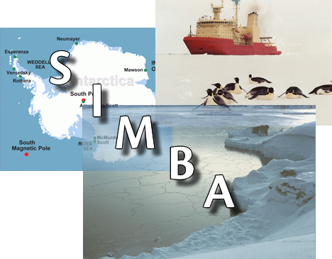
Sea Ice Mass Balance in the Antarctic (SIMBA)
Sea ice thickness, combined with a real extent as the sea ice mass balance, is the principal response of climatic and oceanic interaction in the marine areas of Antarctica. A major thrust of the project is to obtain sea ice thickness, extent, and physical properties in order to characterize mechanisms of growth and decay and the roles of both the ocean and atmosphere in the sea ice annual cycle.
Ice thickness data will be obtained by a variety of methods including visual and automatic camera ice observations from vessels, buoy arrays, airborne EM surveys, under ice draft surveys using Autosub AUVs, satellite remote sensing and moored Upward Looking Sonar arrays. Establishment of a quantitative base for circumpolar ice thickness will allow for comparison to the ASPeCt ice thickness distribution derived from ship observations in the past and for future determinations of the thickness distribution that will be available from validated satellite altimetric observations. The Antarctic sea ice cover can then be quantitatively evaluated for response to global climate change in the future and these measurements, as the ice thickness baseline, will be a legacy of IPY. Comparisons of altimetric derived ice thicknesses with prior ship observations will provide ice thickness variability for a thirty year record in selected areas providing some possibility of interdecadal variability determination in sea ice thickness for the recent past as well. A new project from Finland, (S1FL), will contribute to the overall program by investigations of Sea Ice Mechanics and Modeling.
For the fast ice, a network of coastal stations, the Antarctic Fast Ice Network (277), is being established. As with the drifting pack, the response of the fast ice to changes in climate and oceanic influence will be monitored and understood with an array of stations to evaluate regional influences. Because of the access from the manned stations, a wider variety of through ice measurements and detailed structural analyses can be made on a year-round basis than for the drifting pack giving more detailed information. A variety of remote sensing data will also be used to map and characterize fast ice and ground stations will be used to provide validation for remote sensing.
Remote sensing is a direct component of the lead project (270), to validate satellite altimetric measurements of Antarctic sea ice thickness. Two other projects are primarily remote sensing projects: Multi-frequency, multi-polarization helicopter-borne scatterometer measurements of sea ice radar backscatter".(308), and a new project from Malaysia, (S2Malay), Polar Ice Monitoring and Parameter Retrieval with Microwave Remote Sensing. One focus of the first project will be on the investigation of the multi-frequency backscattering properties of thin ice, including an attempt to derive its thickness from these measurements and to map frost flowers. S2Malay will perform theoretical modelling and conduct its ground truth measurements on thick fast ice in association with the Antarctic Fast Ice Network(277).
In collaboration with the field work, modelling and remote sensing associated with ice thickness and physical properties measurements (9 eoi's), three projects coordinated by BASICS(862) will conduct year-round studies of Antarctic sea ice physics, biogeochemistry and biology on drifting pack ice and fast ice to better understand and budget exchanges of energy and matter across ocean-sea ice-atmosphere interfaces. BASICS will quantify their potential impact on fluxes of climatically important gases (CO2, DMS) and carbon export to the deep ocean; the Study of Antarctic Sea Ice Ecosystems(818) will focus on the biology within sea ice and relationship to ice physical properties; while Carbon in Sea Ice (976) will provide coordination between the Antarctic and Arctic efforts to understand how sea ice biogeochemistry controls CO2 fluxes.


