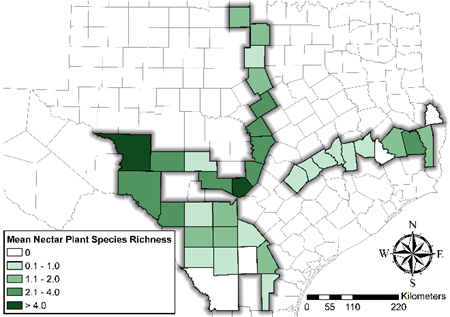
Roadside Surveys of Milkweed Species
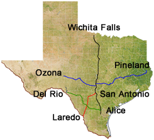
Four cross-Texas transect roadside surveys (Pineland to Ozona, Wichita Falls to Alice, San Antonio to Laredo, and Del Rio to Alice) were conducted during spring and fall of 2016, 2017, and 2018.
Every 10 miles:
- 750 m2 were sampled and the following was measured:
- Number and species of milkweeds
- Percent cover of other species
- Number of flower blooms
- Distance to the nearest fire ant mound
- Cover of soil, rock, and litter
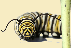
- Number of monarch eggs and larvae
- 50, 1m spaced line-point and percent cover measured
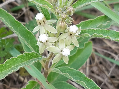
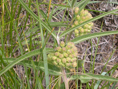
Asclepias asperula
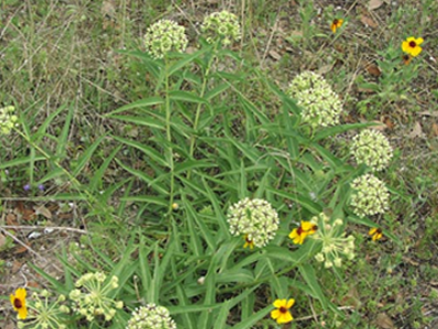
Asclepias emoryi
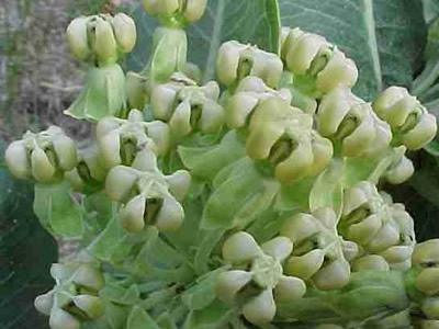
Asclepias latifolia
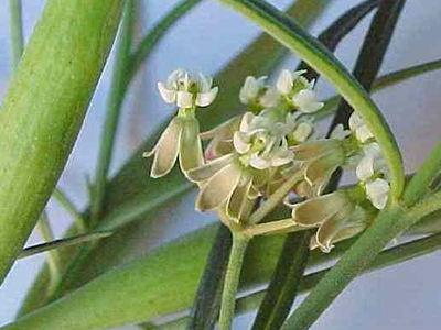
Asclepias linearis
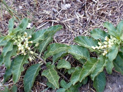
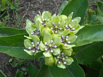
Asclepias oenotheroides
Asclepias verticillota
Asclepias viridiflora
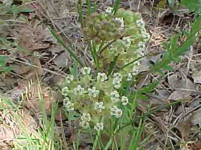
Asclepias viridis
Spring Average (2017-2018)
milkweed species |
total stems found |
# of sites where present |
mean stem density when present ± SE |
|---|---|---|---|
A. asperula |
270 ± 428 |
23 ± 0 |
0.091 ± 0.042 |
A. emoryi |
6 ± 6 |
1 ± 0 |
0.002 ± 0.002 |
A. latifolia |
3 ± 3 |
1 ± 0 |
0.001 ± 0.001 |
A. linearis |
3 ± 3 |
1 ± 0 |
0.002 ± 0.002 |
A. oenotheroides |
64 ± 43 |
9 ± 0 |
0.008 ± 0.002 |
A. viridiflora |
23 ± 17 |
3 ± 0 |
0.007 ± 0.005 |
A. virdis |
291 ± 50 |
13 ± 0 |
0.027 ± 0.004 |
Fall Average (2016-2017)
milkweed species |
total stems found |
# of sites where present |
mean stem density when present ± SE |
|---|---|---|---|
A. asperula |
216 ± 38 |
16 ± 38 |
0.018 ± 0.004 |
A. emoryi |
4 ± 2 |
2 ± 38 |
0.002 ± 0.002 |
A. latifolia |
1 ± 1 |
- |
0.001 ± 0.001 |
A. oenotheroides |
23 ± 10 |
6 ± 38 |
0.007 ± 0.001 |
A. verticillota |
2 ± 1 |
1 ± 38 |
0.002 ± 0.001 |
A. virdis |
44 ± 12 |
8 ± 38 |
0.008 ± 0.002 |