Drone Usage
The use of drones, unmanned aerial vehicles (UAV) or unmanned aircraft systems (UAS), is a relatively new technology to access plant or animal species, populations, or communities difficult to access, detect, or observe.
- Relic populations of bigtooth maple are found in isolated, deep canyons in central Texas.
- Populations occur with other mostly deciduous species.
- Density and basal area of a sample of these communities was measured using the quadrat procedure.
- A UAV or drone was employed to survey all of the canyon communities.
- The study was completed in the fall when the deciduous plants were in full autumn colors so the limits of these communities would be visible from the air.
- Communities in the canyon were digitally outlined and the total area was estimated.
- Total area of the deciduous communities was 3.81 ha (9.41 ac).
- The total number of bigtooth maples and other woody species found using the quadrat procedure was increased by a factor of 3.81 to get a true picture of the community structure.
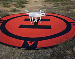
drone on landing pad
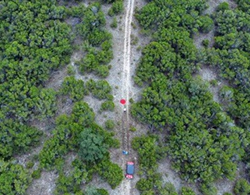
drone photo of landing pad (orange circle)
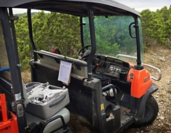
drone in ground transportation
Related Publications
Van Auken, O.W. and D.L. Taylor (2017) Using a Drone (UAV) to Determine the Acer grandidentatum (bigtooth maple) Density in a Relic, Isolated Community. Phytologia 99(3): 208-220.
» abstract


